THE ESKER
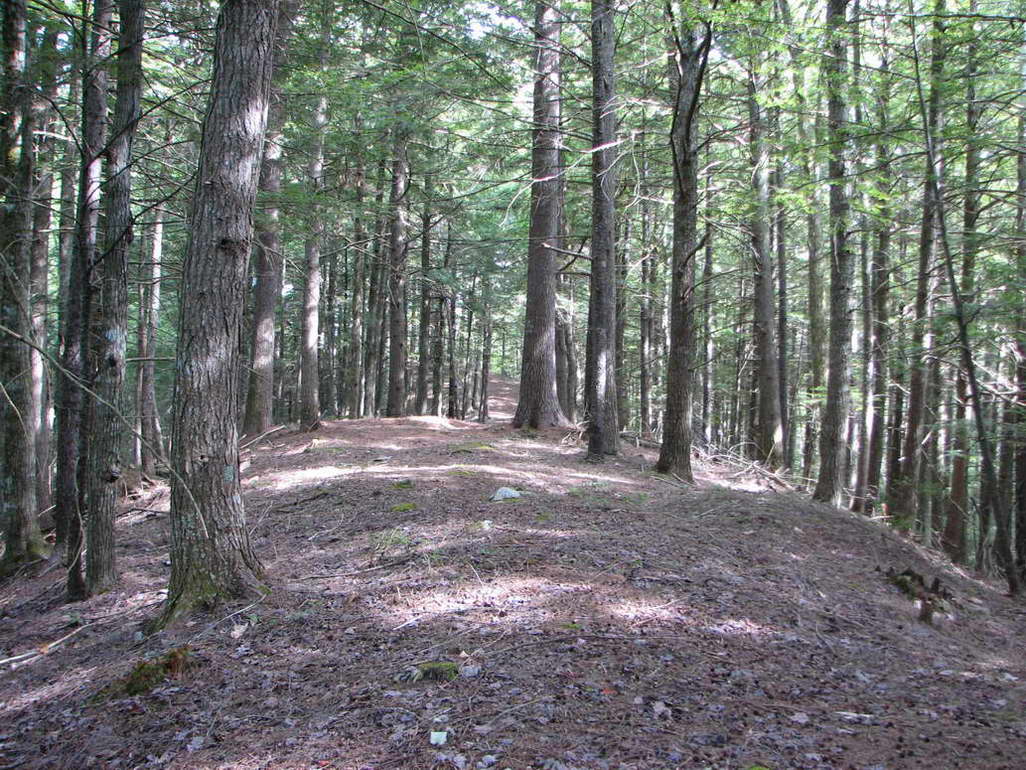
The esker is a narrow ridge with step sides that was left by the glacier more than 10,000 years ago.
It is the most spectacular geological artifact on the property. It was formed by waterflow as the glacier melted.
Picture a river or stream, but this particular flowing water was perhaps sitting on top of a mile thick ice sheet.
Per usual it had a river bottom, but this too was of course on top of the thick ice.
As the glacier continued to melt, the river bottom accumulated more and more gravel.
When the glacier finished receeding that river bottom was still there, but it had become the steep ridge that it is today.
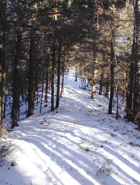
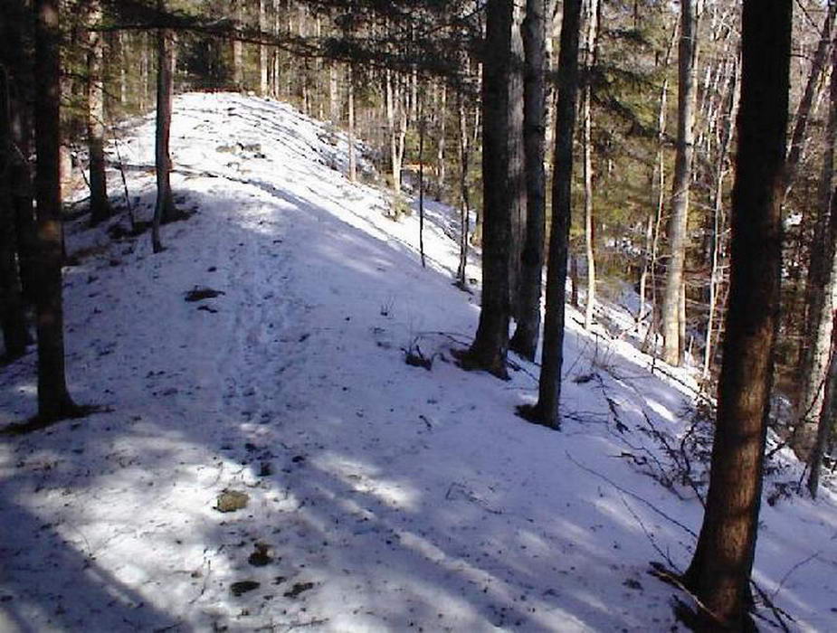
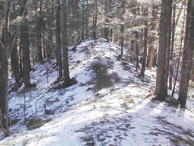
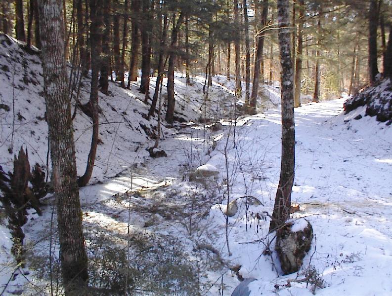
The sides of the esker are more visible in winter photos.
This esker is only one of many that were left in New Hampshire,
but unfortunately they are vanishing. How can that be? Having been around for more than 10,000 years, why are they leaving us?
Because they are terrific gravel deposits and thus good for all sorts of construction projects, especially for road building.
And, mia culpa! I too have allowed part of an esker on this property to be removed for construction projects.
This was done on a trade basis - some of the gravel that was removed was used to create what is now our Erratic Trail,
a fine road indeed.
But the gravel (less than 10.000 cubic yards) that was removed was a small amount compared to that contained in the grand daddy esker we have. "The Esker" is a half mile long and contains more than 200,000 cubic yards of gravel! The Esker has now been protected by a conservation easement and should thus remain unspoiled for generations and generations to come - hopefully until the next ice age works its magic.
But the gravel (less than 10.000 cubic yards) that was removed was a small amount compared to that contained in the grand daddy esker we have. "The Esker" is a half mile long and contains more than 200,000 cubic yards of gravel! The Esker has now been protected by a conservation easement and should thus remain unspoiled for generations and generations to come - hopefully until the next ice age works its magic.
ESKER TRAIL
Esker Trail from the Erratic to Whiteface View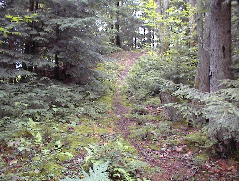

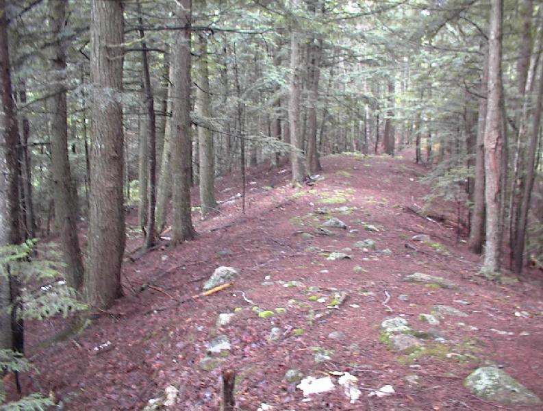


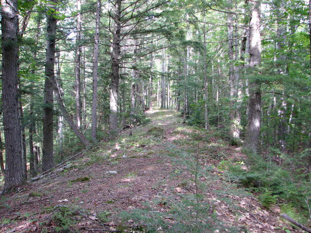
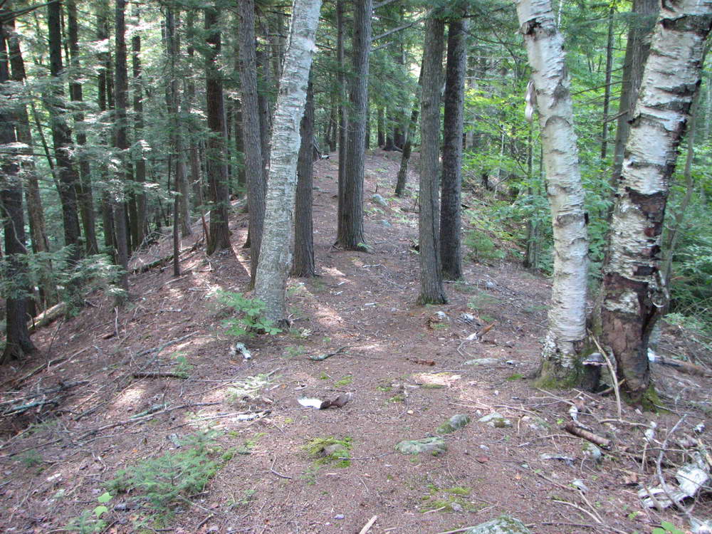
Esker Trail meanders along the top of The Esker.
The Esker, and thus Esker Trail, starts on Erratic Trail opposite from the Erratic.
The trail goes up a steep incline and then is relatively level as the esker heads off in a westerly direction.
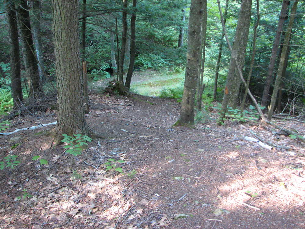
Soon, Wildlife Pond can be seen on the left, thirty feet lower in elevation.
This viewpoint of the pond from the esker can provide nice photo opportunities.
When the sky is at its bluest and the sun is in the west, the surface of the pond reflects the sky and looks a deep blue.
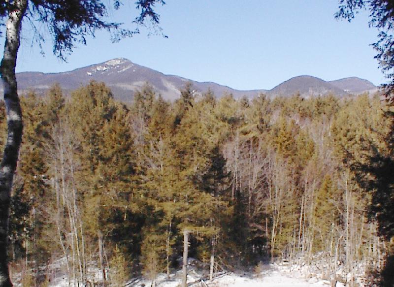
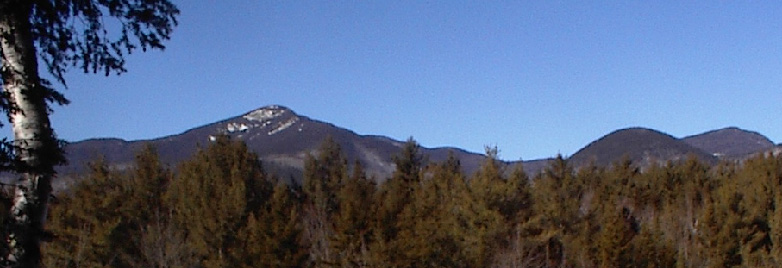
A five minute walk brings you to Whiteface View which overlooks a view of the mountains to the north. The eye catching mountain is Mt. Whiteface, the rounded dome is Mt. Wonalancet, and the distant mountain to the right is Mt. Paugus. To the left of Mt. Whiteface is Mt. TriPyramid.
A five minute walk brings you to Whiteface View which overlooks a view of the mountains to the north. The eye catching mountain is Mt. Whiteface, the rounded dome is Mt. Wonalancet, and the distant mountain to the right is Mt. Paugus. To the left of Mt. Whiteface is Mt. TriPyramid.
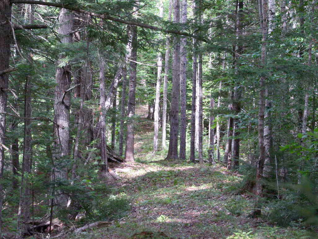
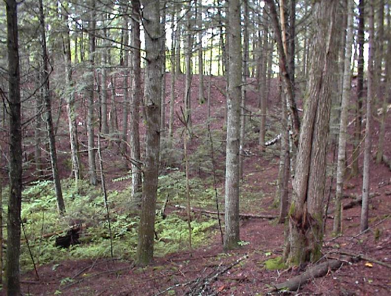
At Whiteface View, the esker has reached its western most point; it bears left after the viewpoint in a sharp curve.
Inside this curve, which is opposite Whiteface View, is "the bowl" of the esker.
This part of the esker probably was never been logged and thus can be properly called Old Growth.
.jpg)
A couple of hundred feet after the esker curves away from Whiteface View, it seems to abruptly end.
At the foot of the esker is Read Brook. This area is the famous ESKER PASS .
More than 10,000 years ago, the Esker used to stretch across the notch that is now a pass.
In those days of old, the continuous Esker formed a dam which impounded a five to ten acre pond.
A heavy rainstorm caused Read Brook to become a raging river and that river caused the Esker to seriously erode.
Then a flashflood created Esker Pass. In the first picture below, the banking to the left of Read Brook was
once part of the continuous Esker.
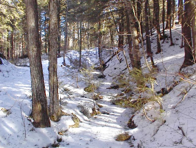
And the esker does not end here, you are only at its half way point.
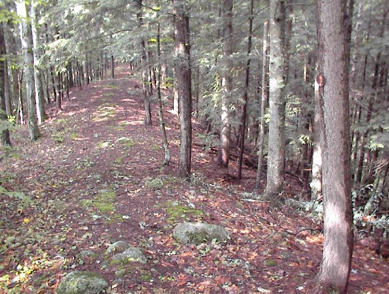
Turn left and follow Esker Pass Road, passing over Read Brook via a culvert.
At the crest of the hill, bear right and leave Esker Pass Road, then climb onto the southern half of the esker.
Follow Esker Pass Trail, meandering along the esker in a counter clockwise direction.
Just before the esker bears left to follow an easterly direction, you briefly cross our southern boundary.
But thirty seconds later you are safely back onto the land. So surprise, this esker is not totally on my property!
In another thousand feet, you come to the end of the trail. The esker does not here, but you have come to the Sandwich - Tamworth boundary and this is where my property ends. Barbed wire protruding from the center of some trees makes the boundary rather obvious. To find civilization again, head back where you just came from and in approximately 100 feet traverse the north facing face of the Esker all the way to the flat forest floor. (I have specifically not put a real trail on the side of the Esker because I don't want to encourage erosion). If you are lucky, you will find NoName trail which leads you in a northerly direction to the Field. If you are unlucky, you will have to bush wack in the northerly direction, but you will still find the Field. If you are really unlucky, it will be overcast and you not know where north is, a bear will find you, and he will have a feast. Don't worry, this doesn't usually happen.
Esker Trail from the Esker Pass to Tamworth BoundaryIn another thousand feet, you come to the end of the trail. The esker does not here, but you have come to the Sandwich - Tamworth boundary and this is where my property ends. Barbed wire protruding from the center of some trees makes the boundary rather obvious. To find civilization again, head back where you just came from and in approximately 100 feet traverse the north facing face of the Esker all the way to the flat forest floor. (I have specifically not put a real trail on the side of the Esker because I don't want to encourage erosion). If you are lucky, you will find NoName trail which leads you in a northerly direction to the Field. If you are unlucky, you will have to bush wack in the northerly direction, but you will still find the Field. If you are really unlucky, it will be overcast and you not know where north is, a bear will find you, and he will have a feast. Don't worry, this doesn't usually happen.