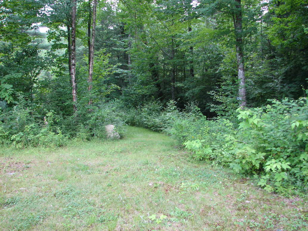
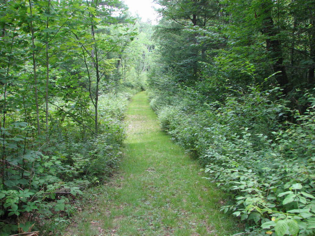
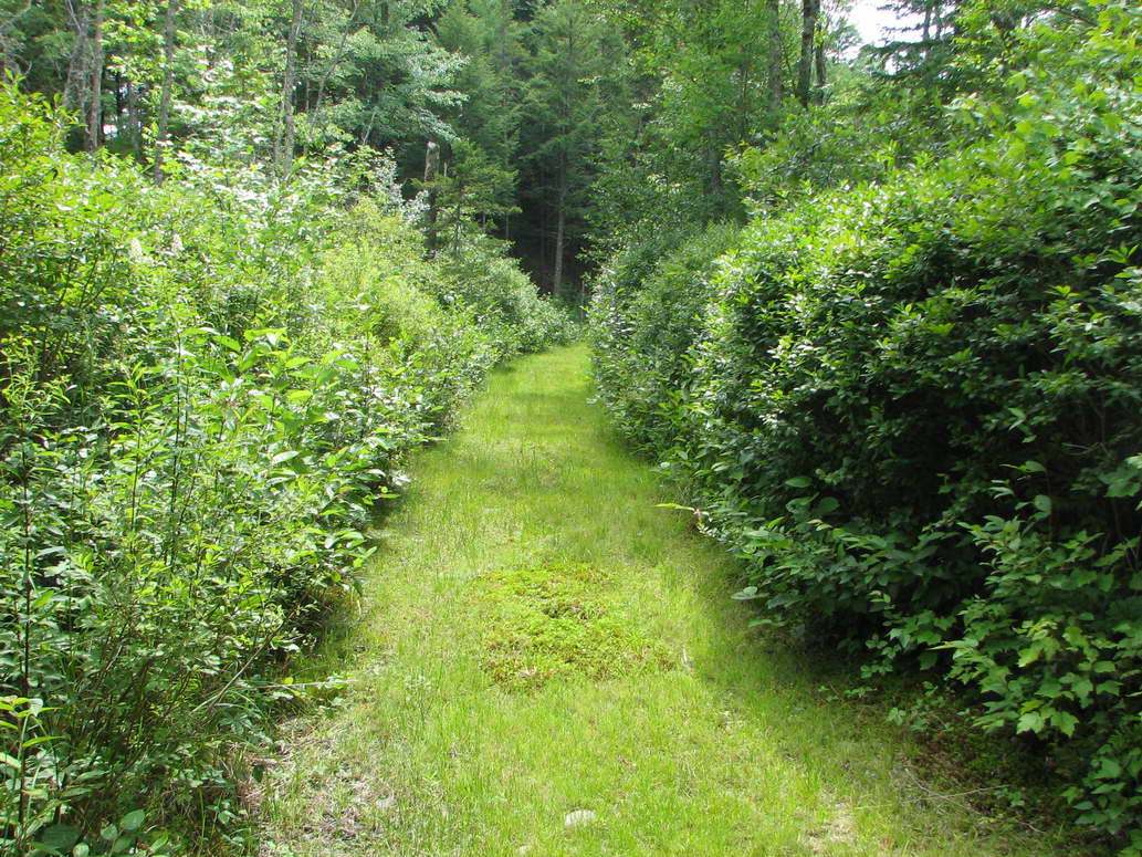
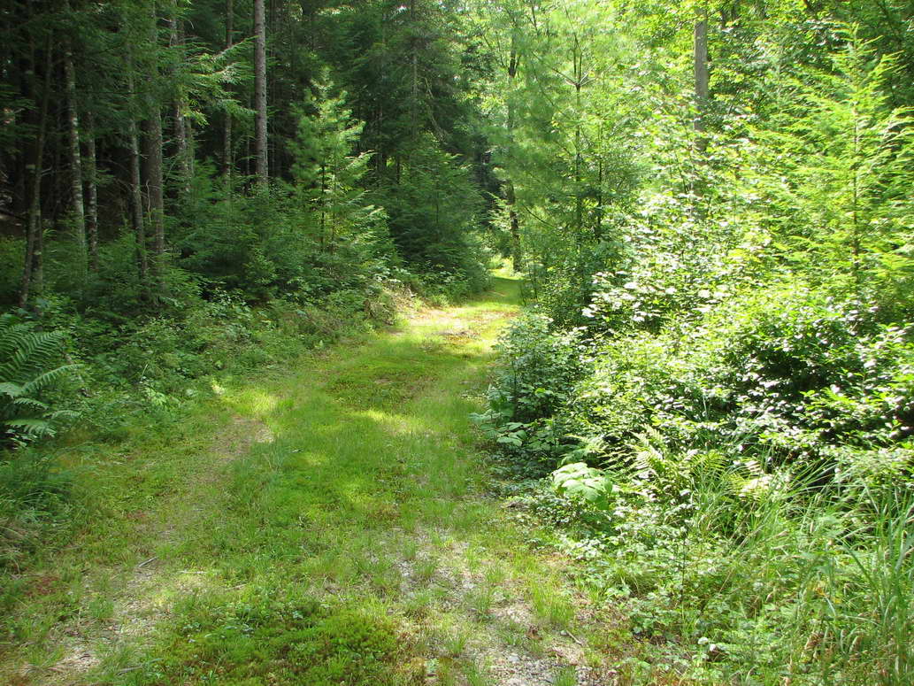
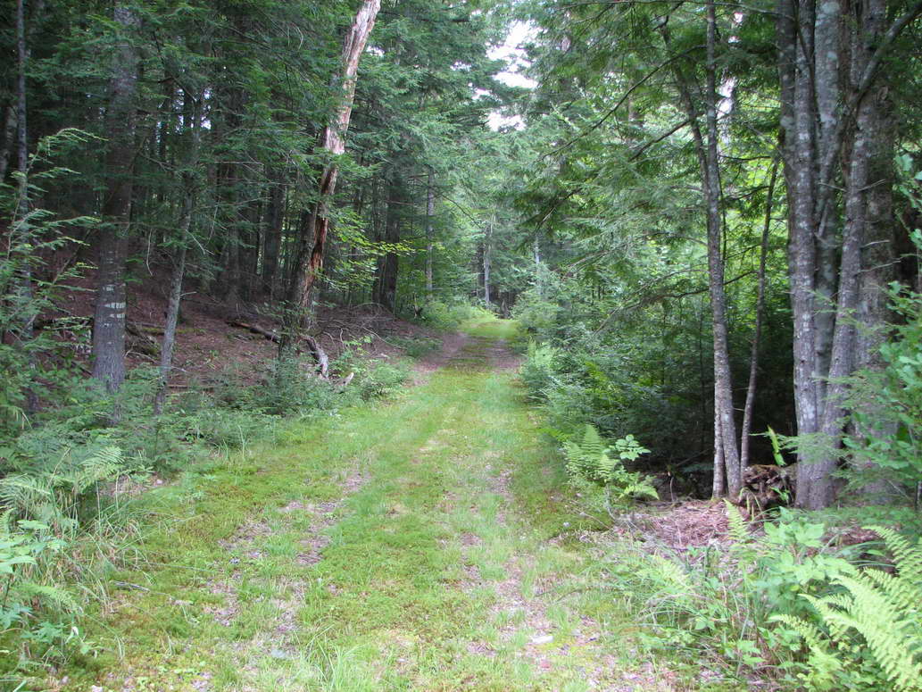
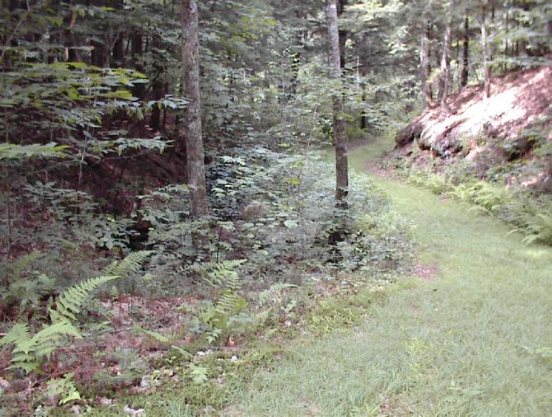
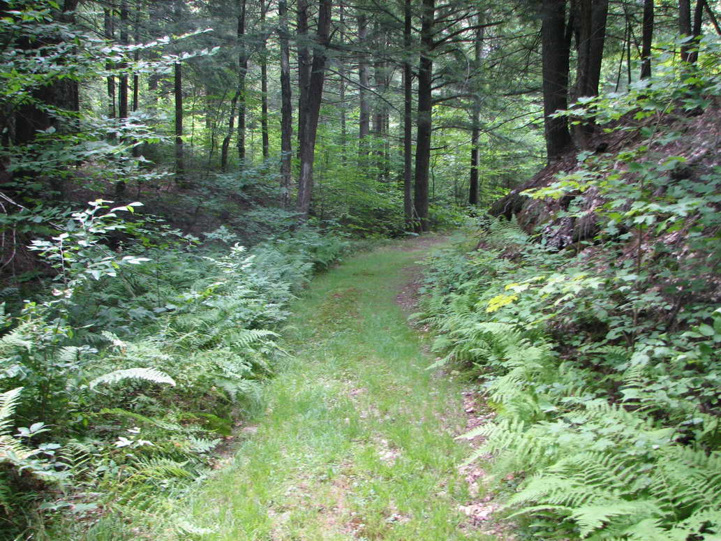
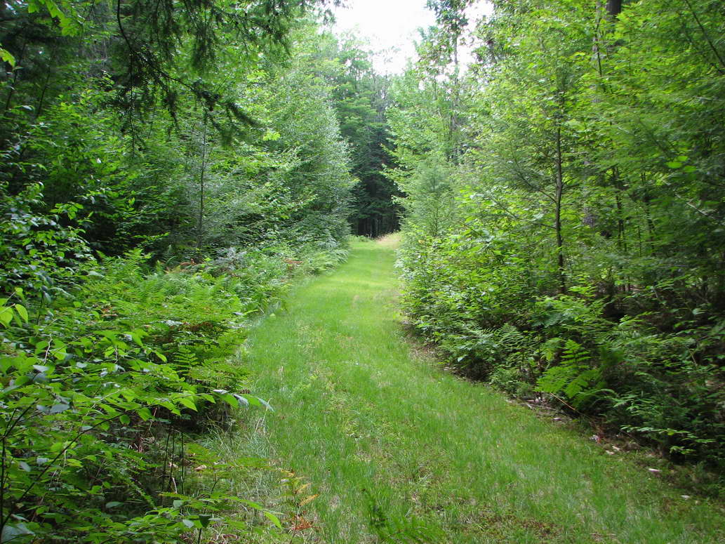
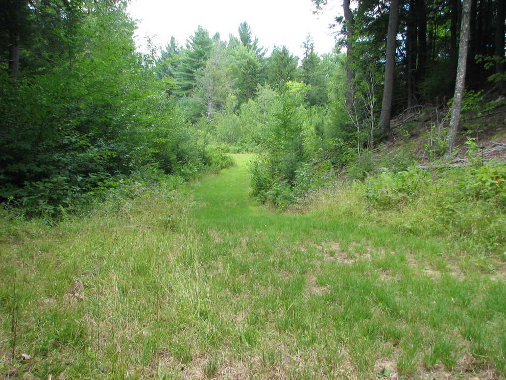
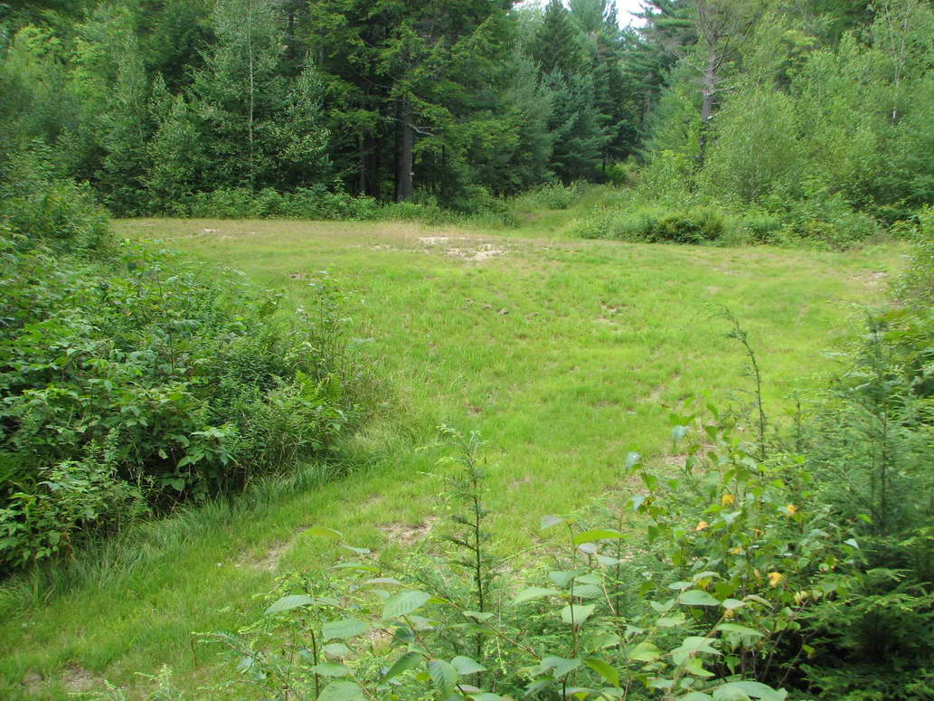
Esker Pass Trail is one of the longer trails, going from the field to Blackberry Crossing. Leaving the field, it traverses through an area of low brush, then follows the route of the esker, staying close to its base. At first, Esker Pass Trail is on the inside of the horseshoe shape that is described by the esker, with the esker being on the left hand side of the trail. After going through Esker Pass, the esker is then on the right hand side of the trail. Esker Pass Trail provides a perfect opportunity to appreciate the route of the esker and also to appreciate its size.
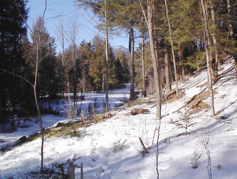
I think the coolest part of Esker Pass Trail, and perhaps of the entire property, is Esker Pass itself. Read Brook flows through the middle of Esker Pass. The pass area does not receive much sun and has an isolated feeling. By observing the banking to the left of Read Brook, it is easy to convince yourself that the esker once traversed this section without dipping down to form the present day notch/pass. When the esker was whole, it contained a 5 to 7 acre pond. About 10,000 years ago the dam that was created when the esker ruptured, with the resulting outpouring of water pushing esker material to form the raised left hand bank of Read Brook.
The following pictures were taken while walking from the field to the start/end of Independence Avenue..